


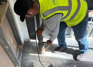

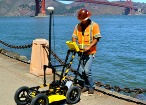

In the bustling urban landscapes of West Palm Beach, Fort Lauderdale, Pompano Beach, and Miami, the structural integrity of buildings and infrastructure …

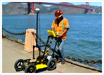
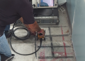
Introduction: In the bustling cities of Miami, Kendall, Plantation, West Palm Beach, and Boynton Beach, the underground landscape holds secrets crucial to …

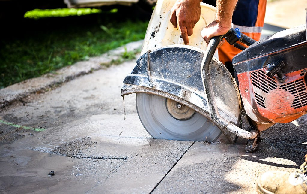
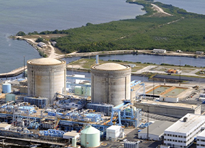
Broward County, Florida, with its sprawling urban landscape, is a hub of construction and development. From towering skyscrapers to expansive highways, the …